The Way Back Machine: From Neighborhood Activist to Neighborhood Developer
This is part of a series looking back at 20 years of land use, planning, and housing policy history leading up to the state we’re in today. Yesterday’s post was about the Beacon Hill station. Apologies for the many, many names and stories I can’t mention and for anything I got wrong or misremembered. Later, I might go back and do more deep research on all this including interviews and more.
In the summer of 1998, I landed a great job as a Community Liaison Specialist with the Tacoma-Pierce County Health Department (TPCHD). There were seven of us regionally allocated along with a public health nurse and several environmental health specialists. I was still active as a neighborhood planner on Beacon Hill and South Park, and I had written a couple of opinion pieces for the Seattle Times that had gotten a lot of attention in the neighborhood. One supported Amazon’s move to the Pacific Medical building, the iconic old Marine Hospital on the north end of Beacon Hill. The other opinion piece was advocating for putting the library in the heart of the urban village and saving the bank.
Working at TPCHD was a step up. Our task was to work with neighborhoods groups in the Lakewood area to better assess and address health issues using population-based strategies. I was able to work by day in Pierce County on these kinds of issues, and then on my own time, on evenings and weekends, work on neighborhood issues that were heating up at the time.
About six months into working at TPCHD I heard about a new plan being offered to implement neighborhoods plans. The city would be divided up into six sectors, and a Neighborhood Development Manager or NDM would be hired to work with City departments, neighborhood planning groups, other local entities, and developers to implement the 37 neighborhood plans. The NDMs would work in the Department of Neighborhoods and would help finish the plans up and then start working to make them happen.
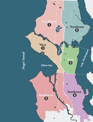
I applied and I was skeptical I’d get the job. Sometime in February I think it was, I got a call from Jim Diers. I got the job. I could start in April. My sector would be the southwest sector of the city, including the plans for Duwamish Industrial Area, Georgetown, South Park, Westwood-Highland Park, Delridge, the Morgan Junction, the Alaska Junction, and Admiral neighborhoods.
Generally speaking, the work was coordinating departments to prioritize items in the plans and finding funding from City and other sources. It was some of the most fun I’ve ever had in a job. I’ve already talked about South Park. Here’s a quick snapshot of the other 7 plans I worked on from 1999 until late in 2001. The examples I am giving are just small representations of the kind of work NDMs did in all the sectors.
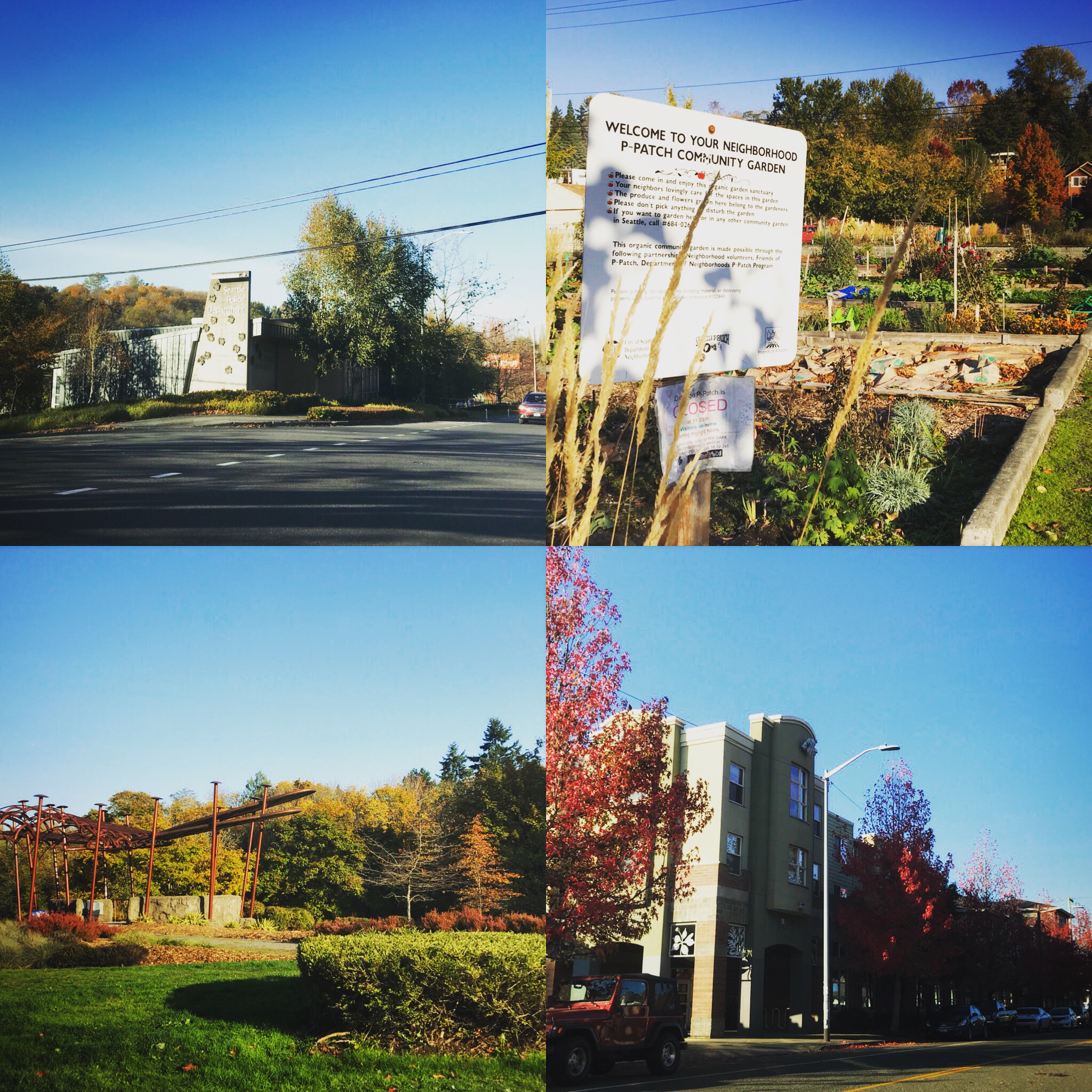
Admiral Neighborhood
Parking was a huge issue in Admiral, and the neighborhood was the home of former City Councilmember and iconic 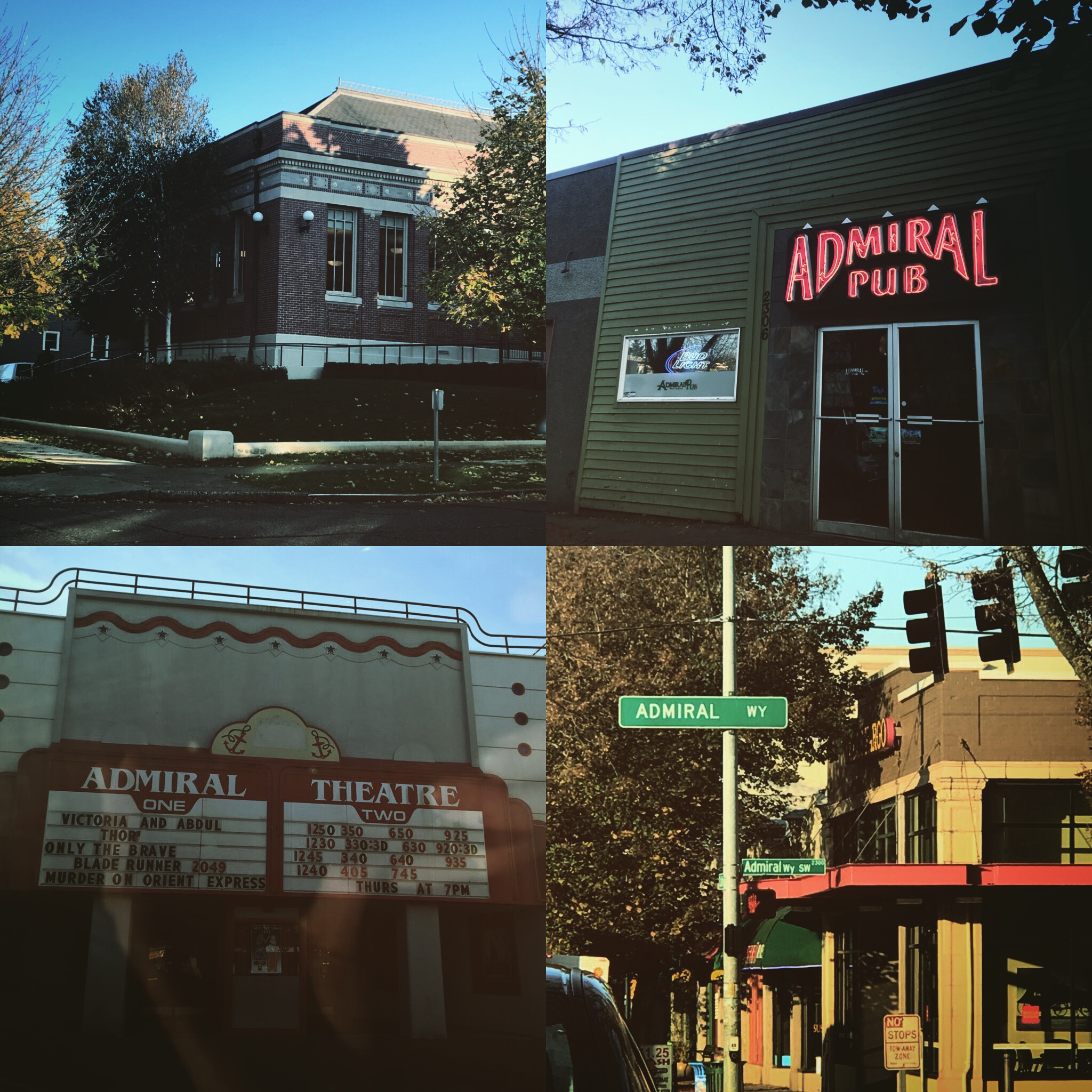 opponent of the Comprehensive Plan and the urban village strategy, Charlie Chong. It was a neighborhood that had a reputation of being tough on City staff (I guess that’s true of all the neighborhoods in the SW sector). One thing we solved was getting bus loading and off loading off of California and on to the strip of jointly owned by the Parks Department and Seattle School District property between the School and Hiawatha Park.
When the buses parked on the street, they took away street parking for people shopping at near by businesses and going to the park. We had to bring together the Park Department and the School district to do a complicated land swap that would allow buses to load and unload without encroaching on to park property, a violation of City law after a referendum passed strictly reducing non-parks use of parks property. It took many months of wrangling, but we got the buses off California and sorted out the property line issue between the School District and Parks.
West Seattle Junction
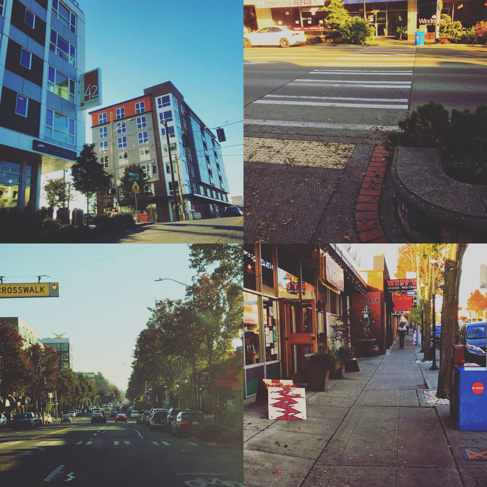 The Junction as it is called is a highly legible business district of about two blocks with iconic businesses and lots of street activity. It’s a bit more old school than Capitol Hill or the U District but has just about the same level of activity. The neighborhood wanted new sidewalks, crosswalks, curb bulbs, and street lighting. There wasn’t any money for that.
We combined forces with the Business Improvement Area (BIA) that raised funds from local businesses, the Neighborhood Matching Fund, the Cumulative Reserve Fund, and funding from an Urban Arterial Trust Account project. With help from City Light and phasing the project we also got the conduit for street lighting blended into the project as well. In the end, we were able to get funding for the light fixtures as well. It took about a year to complete, but it was a classic example of local business working with the City to make elements of the plan a reality.
Morgan Junction
Among the issues in Morgan Junction neighborhood that come to mind are traffic and parks. The Morgan 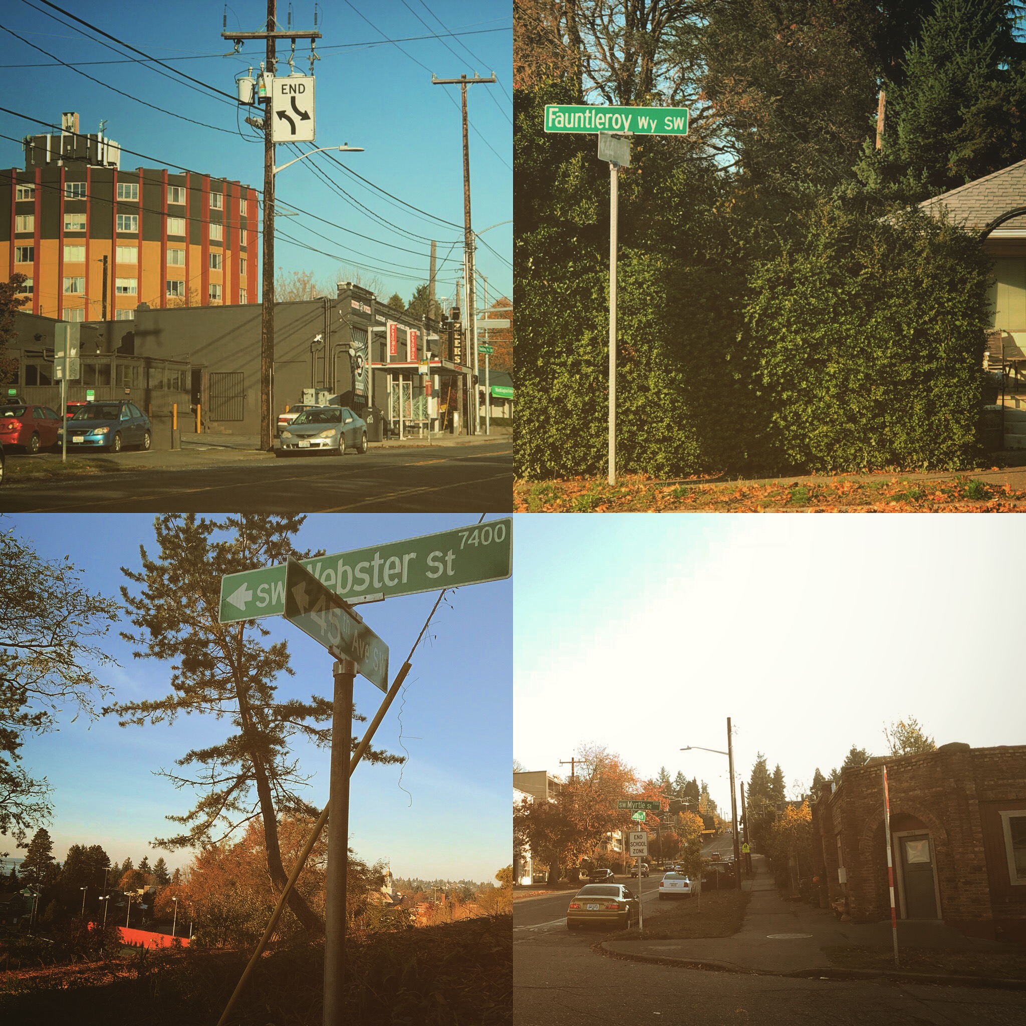 neighborhood is right on a corridor for Vashon ferry traffic which comes into the neighborhood from Fauntleroy and California, putting the junction of Morgan and California right in the middle of big surges of traffic. Lots of the work we did was on traffic calming and better organizing ferry loading especially during the busy summer months.
The neighborhood had a vision for what it called “The Green Crescent” which built on already existing right of way at the Eddy Street Ravine, the Lincoln Park Annex, and Lincoln Park itself. There were many issues that had to be worked through to get good pedestrian connections through the neighborhood and improve access to the ravine and Lincoln Park.
Delridge
 Delridge organized its plans around 4 nodes, the North Node and Delridge and Andover, the Campus Node at the site of the Old Cooper School, the Central Node at Puget and Juneau and Delridge, and the South Node, the site of a new police precinct and the site, at the time of a K-Mart with a huge parking lot. There was a lot of other projects in the neighborhood as well, including open space, P Patch and turning the Old Cooper School into an active arts and cultural center. Check out the Cooper School today and you’ll see it has become a reality.
One other project that connected with the plans of the Westwood Highland Park plan was the Longfellow Creek Legacy Trail, a project that involved cleaning up the creek and providing more access to it along right of way and other access points from the steel plant in the north all the way to Roxhill Park at the city limit to the south. It was a project that had to cross many different difficulties along the way including skeptical property owners who didn’t want people walking near their backyards. In the end the trail was largely completed using existing public right of way.
Westwood Highland Park
The trail emerged in the Westwood neighborhood at the southern end of Delridge Way. Chief Seattle High School, 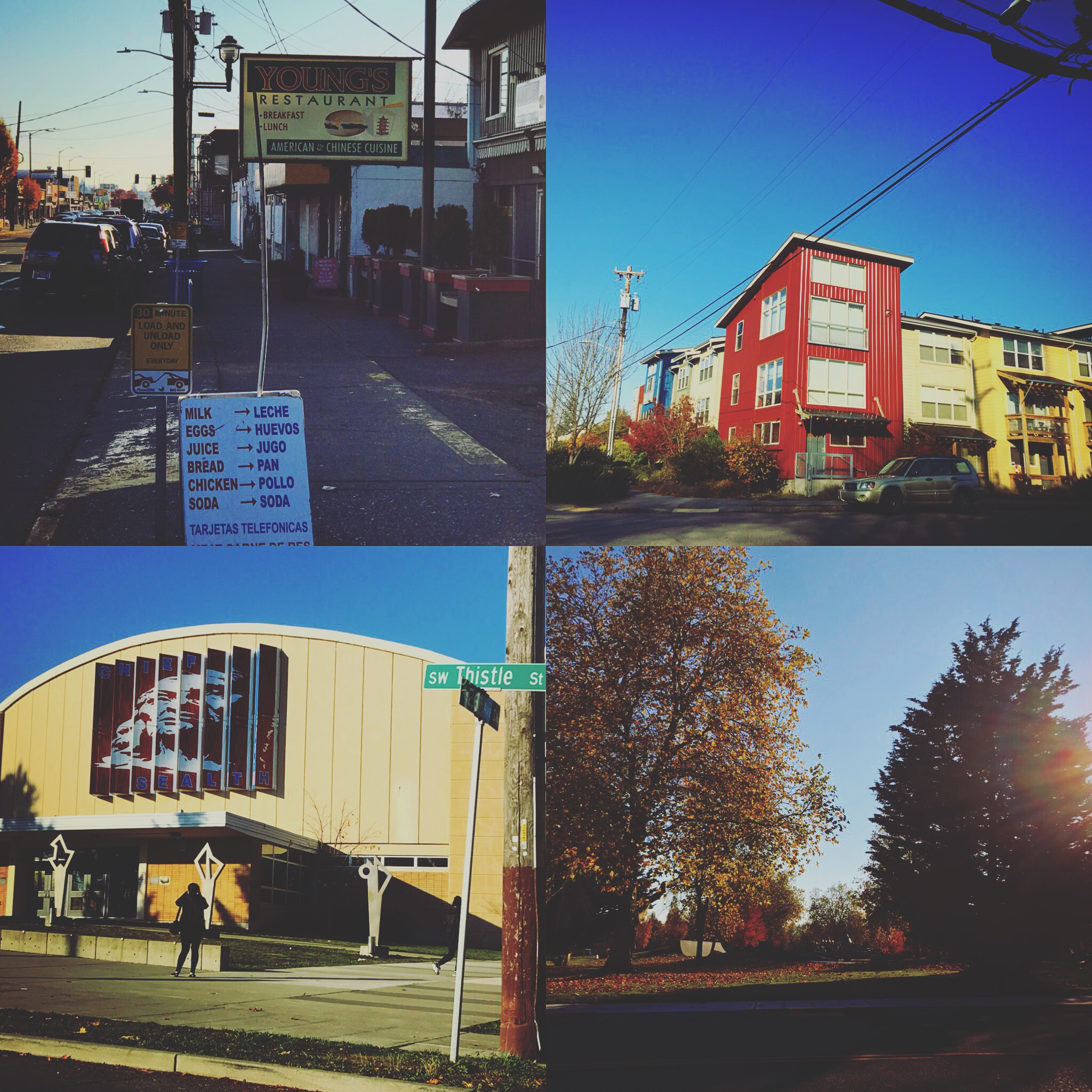 Denny Middle School, and the Southwest Recreational Center formed a campus including the athletic field used jointly by the school district and the community. At the time of neighborhood planning there was also a plan by the school district to implement a ballot measure that was funded to renovate school play fields.
This wasn’t easy since the school district was on a different planning trajectory. There was conflict, and the neighborhood filed an appeal to the district’s permit. In the end, there was compromise and part of that was a set aside along the field of an accessible path for the Longfellow Creek Legacy Trail that would complete a key link between a section ending at the high school; that link would complete a link between Chief Sealth and Westwood Village to the south.
Georgetown
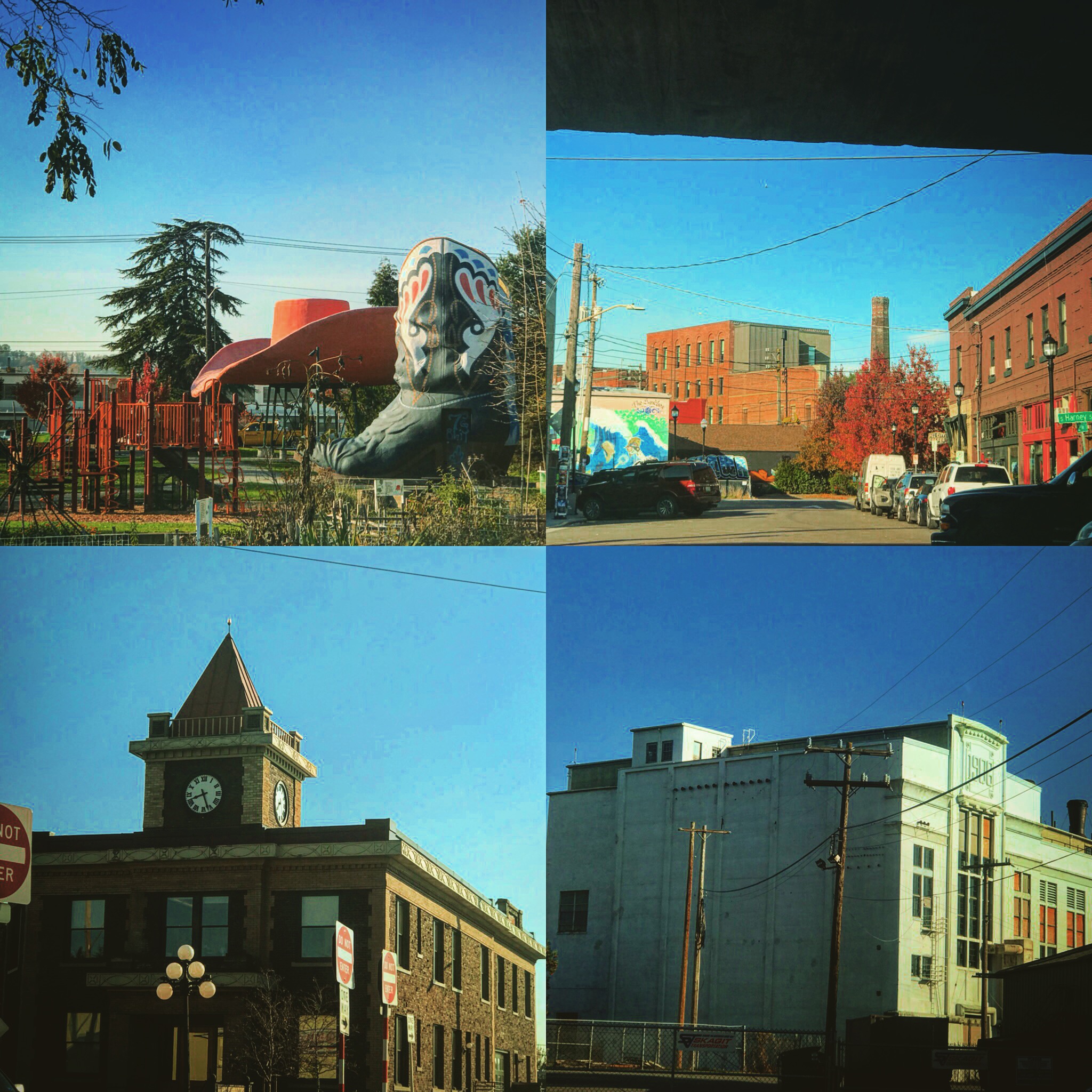 During the time I was an NDM Georgetown started to emerge as a neighborhood that was fighting for its existence into the thriving neighborhood it is today. At that time, it didn’t seem certain that Georgetown would make it. The neighborhood was, and still is, surrounded by industrial uses; trucks and trains and planes all swirl around the small residential and commercial area. In the late 90s there was serious talk about the King County International Airport condemning the whole residential area for its proposed expansion.
Amid all this the neighbors rallied. We managed to combine money raised from neighbors Parks Department Opportunity Grant Funding to try and turn a parcel of Washington Department of Transportation (WSDOT) property into a park and a location for the well known Hat and Boots. The Parks Department finally did acquire the land and money was found to relocated and rehabilitate the Hat and Boots that now sit in Oxbow Park. They said it couldn’t be done at the time, and now Georgetown seems here to stay.
The Greater Duwamish Manufacturing and Industrial Area
As I said, Georgetown is surrounded by industrial area, most of it in the plan of this area of the city that stretched from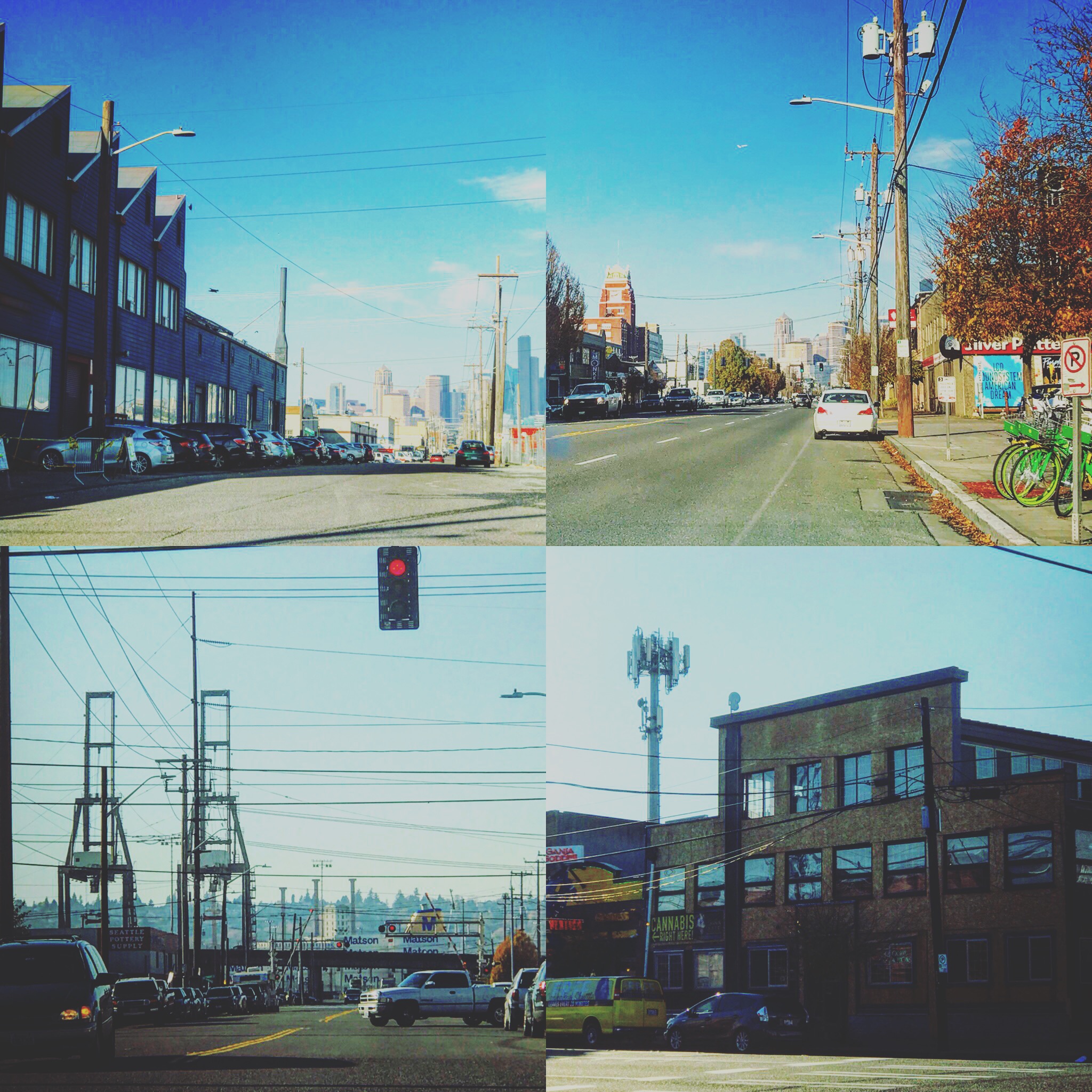 Beacon Hill to the east to Alki in the west, and downtown to the north and South Park in the south. While Georgetown had to fight against encroachment of industry on residential use, the industrial area was engaged in a profound fight over whether industrial land could hold out against the pressure of commercial and residential use. The new stadiums and school district head quarters didn’t make that any easier.
In the end, the City and its officials seem to have sided, mostly, with industrial use. It’s an ongoing battle. Many property owners with struggling businesses were trying to stay alive. But their operations were complicated by problems with freight mobility. Some wanted to upzone and sell their land for commercial use. But where would that end? At some point, the business next door would want to close up and sell too. This conversation continues today, with many older businesses struggling and the pressure of more and more traffic and commercial uses bearing down.
Next: Why was the neighborhood planning process successful?